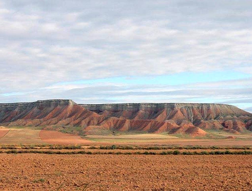
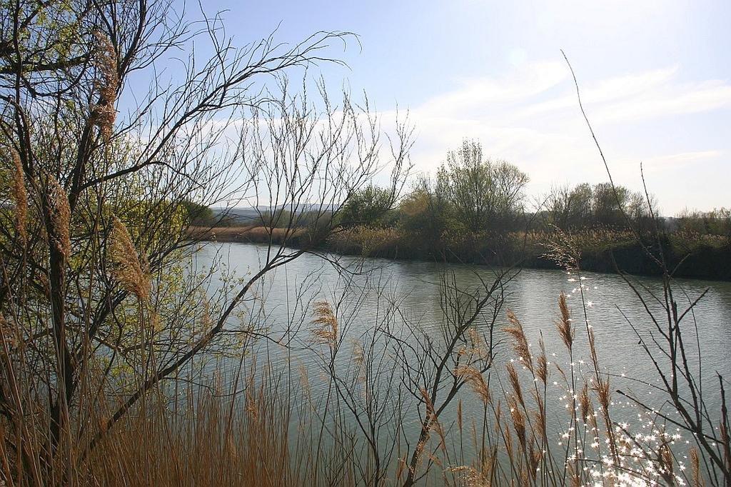
Sierra y Cañones de Guara Natural Park

Sierra y Cañones de Guara Natural Park - Mallos de Riglos
  • Region: Aragón
  • Province: Huesca
  • Declared a Natural Park: 1990
  • Park surface area: 47,453 hectares
  • Villages and towns: Abiego, Adahuesca, Aínsa-Sobrarbe, Alquézar, Arguis, Bárcabo, Bierge, Boltaña, Caldearenas, Casbas de Huesca, Colungo, Huesca, Loporzano, Nueno and Sabiñánigo.

Points of interest

The Sierra y Cañones de Guara Natural Park (in Aragonese Parque natural d’a Sierra y as Foces de Guara ) is the largest protected area in Aragón located in the province of Huesca and covers the regions of Alto Gállego, Hoya de Huesca, Sobrarbe and Somontano de Barbastro.

Thanks to its geology this area has become somewhat a Mecca for the practice of canyoning and climbing (In fact some would say that this is the area in Europe that first developed the sport of canyoning). The ravine of the Balcés river is more than 20 km in length and has cliffs as high as 800 m. The Grallera Alta de Guara chasm which has a vertical drop of 277 m.

Read more

Refugio de Fauna Silvestre de la Laguna de Sariñena

The Refugio de Fauna Silvestre de la Laguna de Sariñena

The Refugio de Fauna Silvestre de la Laguna de Sariñena (in Aragonese Refuchio de Fauna Silvestre d’a Lacuna de Sarinyena ) is a wildlife refuge located in Los Monegros in the south of the province of Huesca. The refuge, which has an area of ​​604 hectares was declared as a protected natural area for the first time on April 4 1995. It is located within the municipality of Sariñena between the basins of the Alcanadre and Flumen rivers. In 2001, the natural space was also declared a Special Protection Area for Birds (ZEPA) together with the other nearby lagoon of the Balsa de la Estación.

The Sariñena lagoon is endorheic meaning that its waters have a very high concentration of salts.

Read more

Estepa de los Monegros National Park

Despite its apparent barren landscape this natural area (The future Estepa de los Monegros National Park) is of ​​high ecological value, home to a rich biodiversity and represents one of the best semi-desert areas in all of Europe.

Despite its apparent barren landscape this natural area (The future Estepa de los Monegros National Park) is of ​​high ecological value, home to a rich biodiversity and represents one of the best semi-desert areas in all of Europe. The Sierra de Alcubierre mountain chain crosses the comarca from Northwest to Southeast. Its maximum elevation is … Read more

Posets-Maladeta Natural Park

Posets-Maladeta Natural Park
  • Region: Aragón
  • Province: Huesca
  • Declared a Natural Park: 1994
  • Park surface area: 33,000 hectares
  • Local towns and Villages: Benasque, Gistaín, Montanuy, Sahún, San Juan de Plan
Points of interest

The Posets-Maladeta Natural Park is a protected natural area located in the north of the Ribagorza region and northeast of Sobrarbe in the province of Huesca. It encompasses two of the highest massifs in the Pyrenees. Heights range from 1,500 m in the valley to 3404 m at the summit of Aneto which is the highest peak in the Pyrenees. The moraines and mountain lakes of Vallibierna, Cregüeña, Batisielles, Millares and Remuñe are home to flora and fauna of the high mountain climate. Along with the Benasque valley there are other valleys within the natural park such as the Estós and Vallibierna.

Read more