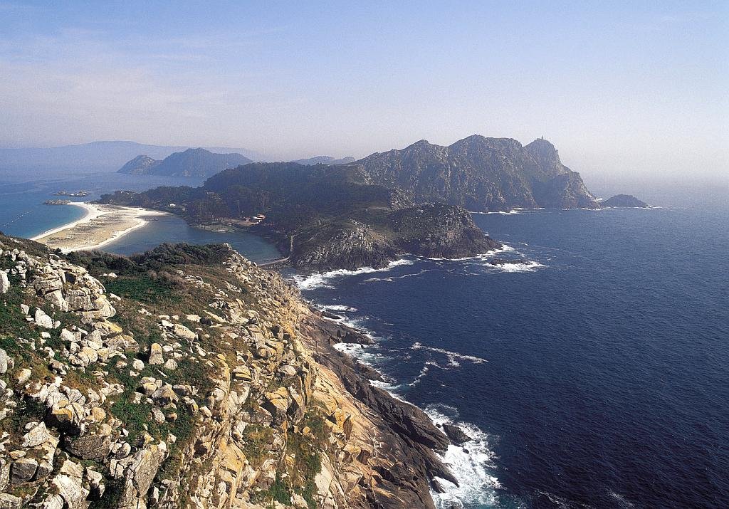
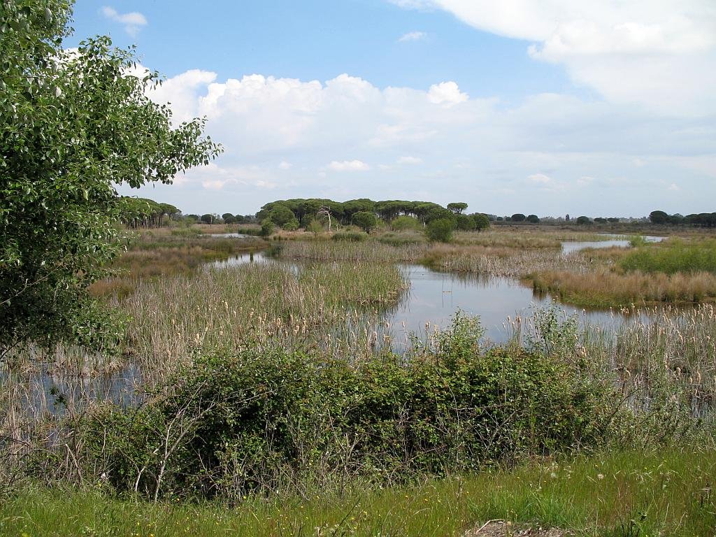
Declared a Natural Park: 1969 reclassified in 1978
In1963 WWF and the Council of Scientific Research bought land (6,794ha) and set up a research station
In 1994 it became a UNESCO World Heritage Site
Natural Park surface area: 54,200
National Park surface area: 50,720 hectares – Total area: 77,260ha:
World Heritage and Special Bird Protection Areas: 50,720ha.
National Park and Ramsar site; buffer zone 26,540ha.
Towns and Villages
Huelva: Almonte, Hinojos, Bollullos Par del Condado, Rociana del Condado, Bonanes y Lucena del Puerto, Palos de la Frontera, Moguer, La Puebla del Río and the Isla Mayor
Sevilla: Aznalcázar, Pilas y Villamanrique de la Condesa.
Cádiz: Sanlúcar de Barrameda
Points of interest
The Doñana National and Natural Parks occupy the northern area of the Guadalquivir river where it meets the Atlantic Ocean. Six thousand years ago it would have been a wide estuary, but this has mostly been closed off by a long, natural sand bar. This in turn created a large saline lake which gradually collected silt leaving a huge wetland area with lagoons, marshlands and semi-permanent sand dunes.
The Daimiel wetlands, known as Las Tablas de Daimiel, are at a critical juncture as they mark their 50th year as a national park. This natural wonder, a symbol of Castilla La Mancha Húmeda biosphere reserve, has been steadily deteriorating over the years due to poor water management, with overexploitation driven primarily by agricultural irrigation.
Over exploitation of water
The overexploitation of water for agricultural purposes has transformed the Tablas de Daimiel into one of Europe’s most threatened aquatic ecosystems. The modern agri-food model, which prioritizes high production rates, has placed immense pressure on our limited water resources, particularly in arid regions like Castilla-La Mancha. As a consequence, what was once a flourishing wetland teeming with biodiversity has become an arid expanse.
Above Image By Heparina1985 – Valley of Ordesa, Ordesa y Monte Perdido National Park, Spain
Region: Aragón
Province: Huesca
Declared a Natural Park:1918
Park surface area: 15,696 hectares (extended to this in 1982)
UNESCO 1997 (Ordesa-Viñamala)
Zona de Especial Protección para las Aves.
Points of interest
The Ordesa y Monte Perdido National Park is an area of dramatic landscape, overseen by the peak of Monte Perdido at 3,355m, found within the Pyrenean mountain range that forms the border between Spain and France.
Arid limestone mountain peaks contrast with deep ravines and lush green valleys. Glaciers have scoured the mountains and there are four fast flowing rivers that fall into the Spanish side. Their valleys are named Ordesa, Pineta, Añisclo and Escuaín.
The original park, created in 1918, only covered the Ordesa valley with one of the intentions being to preserve the Pyrenean Ibex, a type of wild mountain goat. Sadly the last of this species died in January 2000.
The Cabañeros National Park (in Spanish: Parque Nacional de Cabañeros) is located within the two provinces of Ciudad Real and Toledo. It is the best and largest surviving area of Iberian Mediterranean forest, with an enormous variety of plant species. It also includes sites of geological interest (Paleozoic sites known as Cámbrico y Ordovícico del Parque Nacional de Cabañeros). In addition, the territory has protection status within the framework of the Natura 2000 Network and is a Special Protection Area for Birds (ZEPA)
Take a trip on the Wildside! Discover the wildlife and nature of Spain, its Natural and National Parks and find the top wildlife, activity and walking holiday companies in Spain.