- Region: Cantabria
- Local towns and villages: Comillas, San Vicente de la Barquera, Udías, Valdáliga and Val de San Vicente
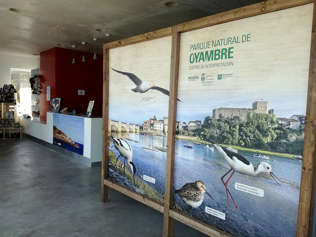
- Declared a Natural Park: 1988.
- Park surface area: 5758 hectares.
Points of interest
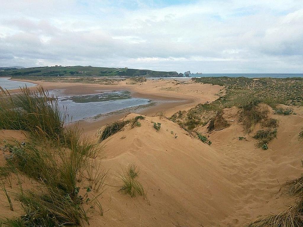
The Oyambre Natural Park is a Spanish protected natural area located on the western coast of Cantabria. A great success story as the park was declared after pressure from local and international ecologist groups (begining in the the seventies) protesting against urban development projects that endangered its dunes and beach environment.
The natural park, which includes the estuaries of Ría de San Vicente, Ría de la Rabia and its surroundings constitutes a magnificent example of a coastal ecosystem. In addition to cliffs, areas of meadows and native hardwood forests, there are various dune systems which together with those of the Dunas de Liencres Natural Park make up some of the most important dune ecosystems on the Cantabrian coast.
I’ve been living in this lovely area of Western Andalucia for the last 20 years or so and dedicate most of my time to the running of English language tourist information websites for the towns of Cádiz, Ronda, Grazalema, the famous or infamous Caminito del Rey, and also Wildside Holidays, which promotes sustainable and eco-friendly businesses running wildlife and walking holidays in Spain. My articles contain affiliate links that will help you reserve a hotel, bus, train or activity in the area. You don’t pay more, but by using them you do support this website. Thankyou!
