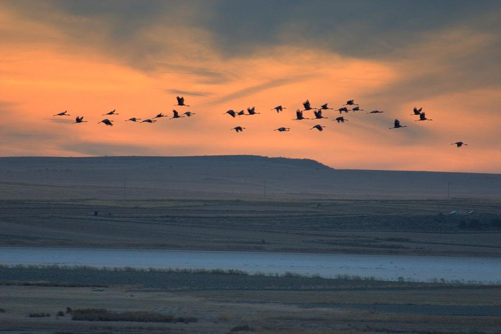
- Andalucia – Malaga province – Near Antequera
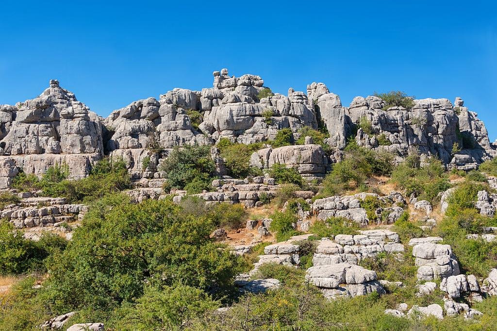
The dramatic and fascinating landscape of the El Torcal protected area is entrancing. Natural erosion has cut valleys and pathways through this enormous “rock garden” and created erratic sculptures in the process. Thin layers of rock stacked like pancakes are pinned down by massive blocks and this seemingly inhospitable terrain is host to many specialist rock loving plants.
I’ve been living in this lovely area of Western Andalucia for the last 20 years or so and dedicate most of my time to the running of English language tourist information websites for the towns of Cádiz, Ronda, Grazalema, the famous or infamous Caminito del Rey, and also Wildside Holidays, which promotes sustainable and eco-friendly businesses running wildlife and walking holidays in Spain. My articles contain affiliate links that will help you reserve a hotel, bus, train or activity in the area. You don’t pay more, but by using them you do support this website. Thankyou!