The River Vero Cultural Park is a unique space known for its cultural and natural value. This is evident in its nature, landscape, history, art, tradition and dynamism of its inhabitants. It was created in 2001 and includes the towns and villages of Bárcabo, Colungo, Alquézar, Adahuesca, Santa María de Dulcis, Pozán de Vero, Azara, Castillazuelo and Barbastro.
Pinares de Rodeno

Created in 1995, the Pinares de Rodeno protected landscape is located in the Sierra de Albarracín region of Teruel, Aragon. The area covers around 6,829 hectares, with altitudes ranging from 1,095 meters in the Tobías ravine to 1,602 meters at Cruz de Montoyo. Local villages include Albarracín, Bezas, and Gea de Albarracín. Much of the forest grows on red sandstone (rodeno), shaped over time into ravines, taffoni (hemispherical holes in the rock wall), and large circular depressions called pilancones. Limestone areas feature softer relief, higher plateaus, and holm oak forests.
The Lomaza de Belchite Wildlife Refuge
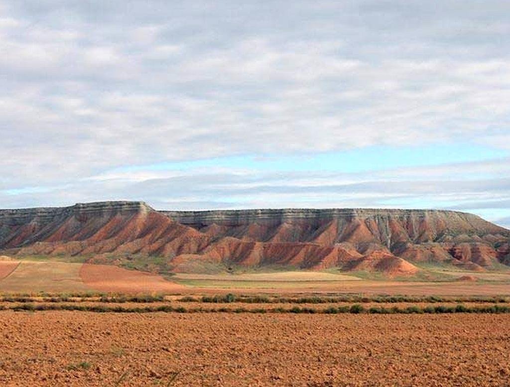
The Lomaza de Belchite Wildlife Refuge is located in the Campo de Belchite region in the southwest of the province of Zaragoza, Aragón. The refuge has an area of 961 hectares and was declared a protected natural area in1995.
Reserva Natural de los Galachos de la Alfranca de Pastriz, La Cartuja y El Burgo de Ebro
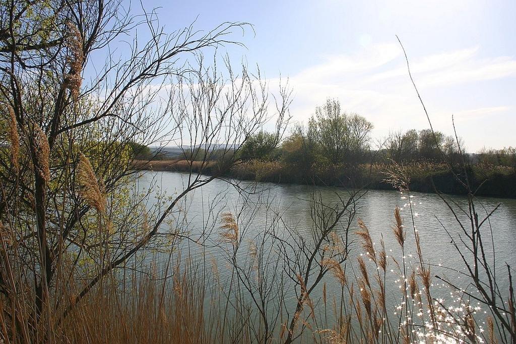
A bit of a mouthful even by Spanish standards but the Reserva Natural de los Galachos de la Alfranca de Pastriz, La Cartuja y El Burgo de Ebro is well worth a visit if you are in the area.
The nature reserve is located in the middle of the Ebro valley in the province of Zaragoza.
Also well worth a visit are the nearby villages of Alfajarín, El Burgo de Ebro, Fuentes de Ebro, Nuez de Ebro, Osera, Pastriz, La Puebla de Alfindén, La Cartuja Baja and of cource the city of Zaragoza.