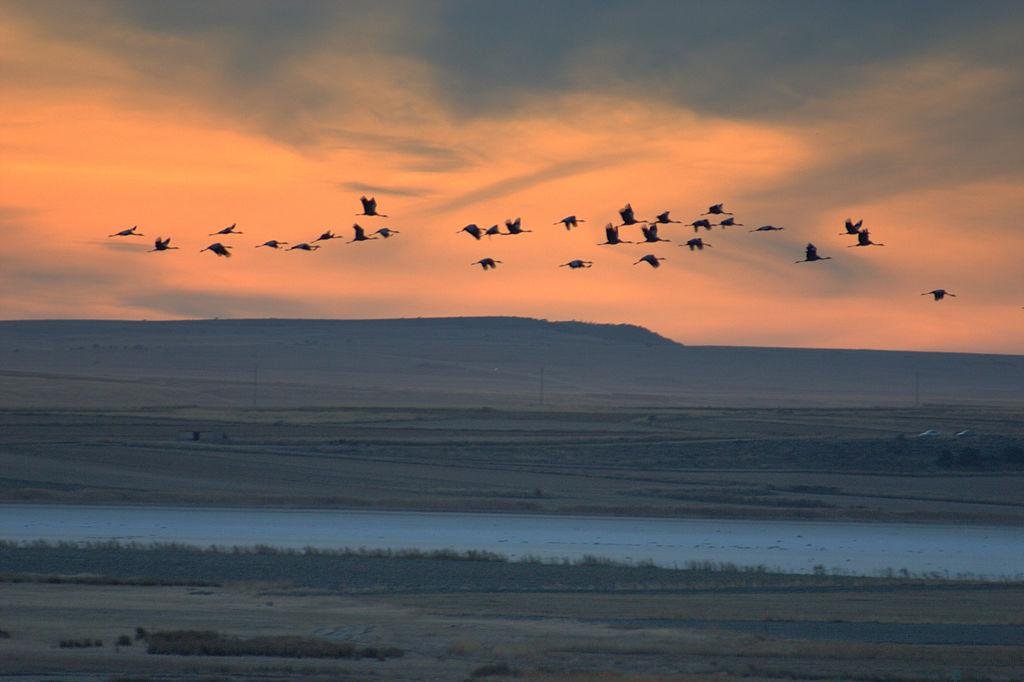
Spain’s diverse regions offer some of Europe’s best wildlife and walking experiences. From the wetlands of Andalucía to the forests of Galicia and the volcanic landscapes of the Canary Islands, each region has its own natural character.
Use this guide to explore Spain by region and find guided tours from trusted partners. Discover national parks, reserves, and the wildlife of Spain.
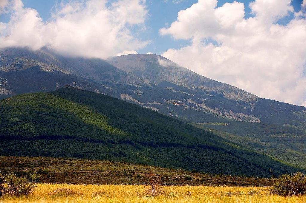
Andalucía – Wildlife, Mountains and Wetlands

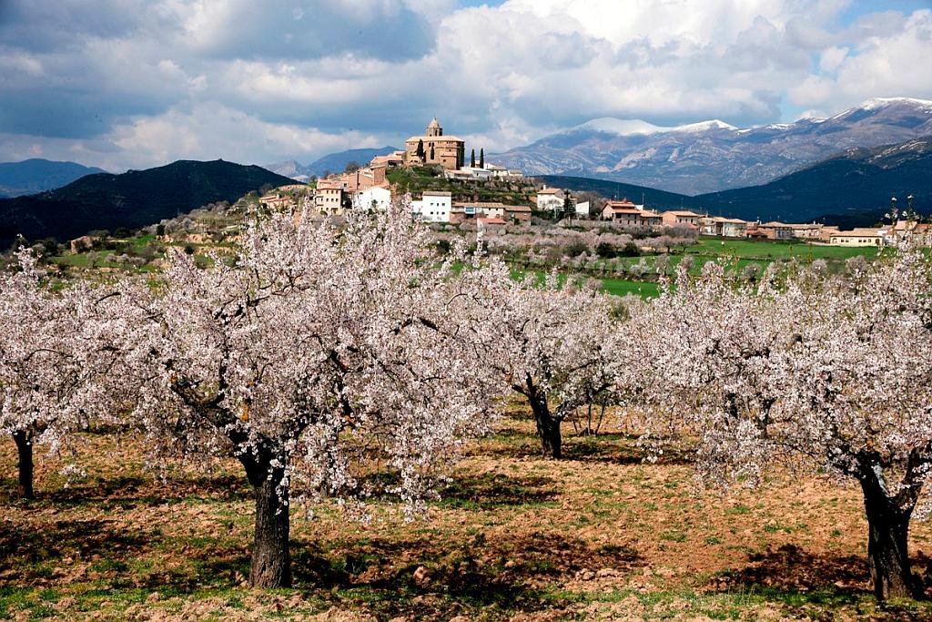
I’ve been living in this lovely area of Western Andalucia for the last 20 years or so and dedicate most of my time to the running of English language tourist information websites for the towns of Cádiz, Ronda, Grazalema, the famous or infamous Caminito del Rey, and also Wildside Holidays, which promotes sustainable and eco-friendly businesses running wildlife and walking holidays in Spain. My articles contain affiliate links that will help you reserve a hotel, bus, train or activity in the area. You don’t pay more, but by using them you do support this website. Thankyou!