- Region: Aragón
- Province: Zaragoza
- Declared a Natural Park: 1978
- Park surface area: 11,144 hectares
- Towns and Villages: Añón, Calcena,Litago, Lituénigo, Purujosa, San Martín de la Virgen de Moncayo, Talamantes, Tarazona and Trasmoz
Points of interest
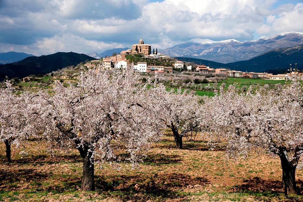
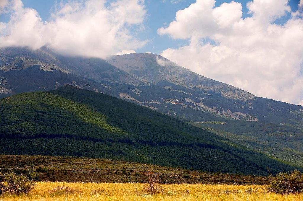
The Moncayo Natural Park (once called the “Dehesa del Moncayo Natural Park”) is a protected natural area located in the province of Zaragoza on the border with the province of Soria. It occupies part of the regions of Aranda, Campo de Borja, Tarazona and Moncayo. Moncayo itself is a 15 km long and about 7 km wide mountain chain and the highest summit, San Miguel (2,314 m), is the highest point in the 500 km long sistema Ibérico. The Moncayo massif also includes two other peaks that are almost identical and are located close together. They are the Cerro San Juan (2,283 m) and Peña Lobera (2226 m).
The area has quite a few walking / hiking routes and one of the most famous starts from the village of San Martín de la Virgen de Moncayo and finishes at the village of Agramonte. (See information centres below)

Clive Muir – Wildside Holidays – Walking, wildlife and culture holidays in Spain
I’ve been living in western Andalucía for more than 20 years and spend much of my time researching and running English-language travel websites about Spain. My work covers destinations including Cádiz, Ronda, Grazalema and the Caminito del Rey, as well as Wildside Holidays, which focuses on walking, wildlife and nature travel in Spain.
Through Wildside Holidays, I share practical information about Spain’s natural parks, mountains, wildlife and walking destinations, drawing on many years of living and travelling in the country. The aim is to help visitors discover Spain’s natural landscapes responsibly and plan rewarding walking and wildlife experiences.