- Region: Andalucia
- Provinces: Cadiz, Malaga
- Declared a Natural Park: 1984
- Park surface area: 51,695 hectares
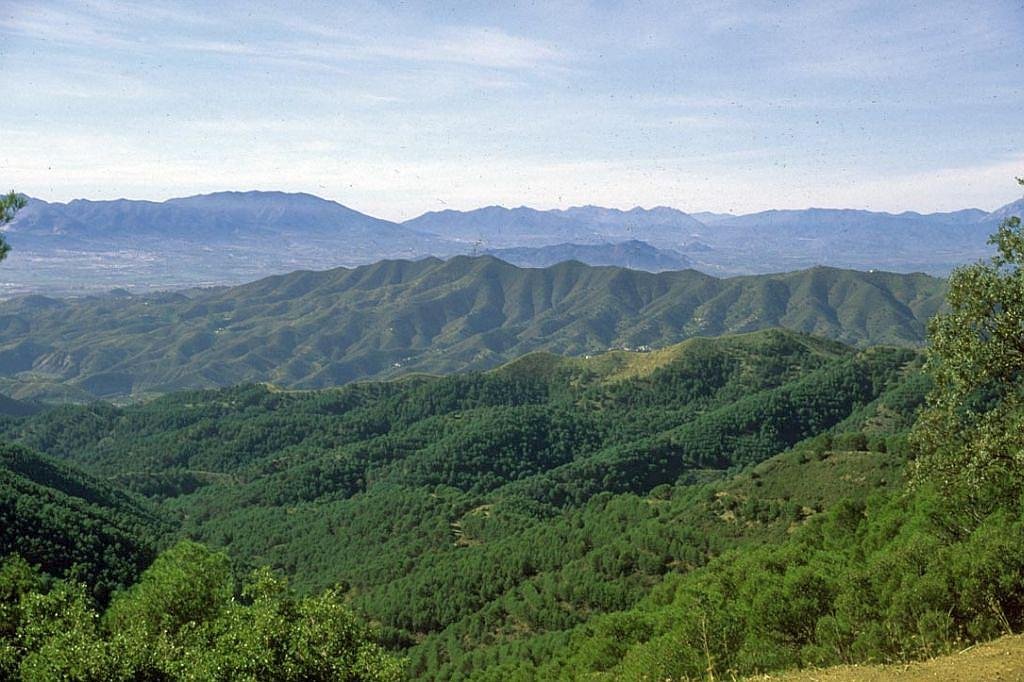
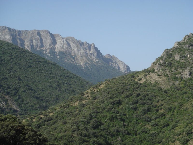
The Natural Park of the Sierra de Grazalema has also been declared a Biosphere Reserve, this is due to the diverse geography with high limestone mountains and deep gorges such as Garganta Verde, (Green Gorge) that is 400m deep and filled with lush vegetation. In addition, it offers a great diversity of species- animals and vegetation.
I’ve been living in this lovely area of Western Andalucia for the last 20 years or so and dedicate most of my time to the running of English language tourist information websites for the towns of Cádiz, Ronda, Grazalema, the famous or infamous Caminito del Rey, and also Wildside Holidays, which promotes sustainable and eco-friendly businesses running wildlife and walking holidays in Spain. My articles contain affiliate links that will help you reserve a hotel, bus, train or activity in the area. You don’t pay more, but by using them you do support this website. Thankyou!