- Region: Andalucia
- Province: Malaga
- Declared a Natural Park: 1989
- Park surface area: 4,996 hectares
- Towns in the Montes de Malaga Area: Casabermeja, Colmenar, Málaga
Points of interest
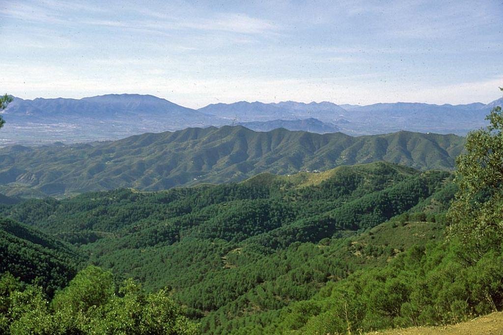
The Montes de Málaga natural park is just 5km from the city of Málaga. It consists of rolling hills and mountains with a high point of 1031m. The highest road pass is Puerto de León at 960m. There are many streams that cut through the park and fall into the Guadalmedina river to the west. The slopes are planted with pines and offer beautiful views of the Mediterranean countryside and coast.