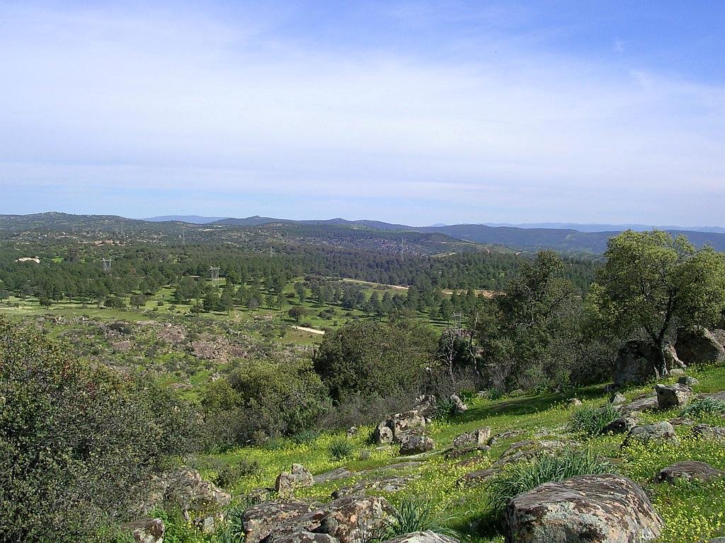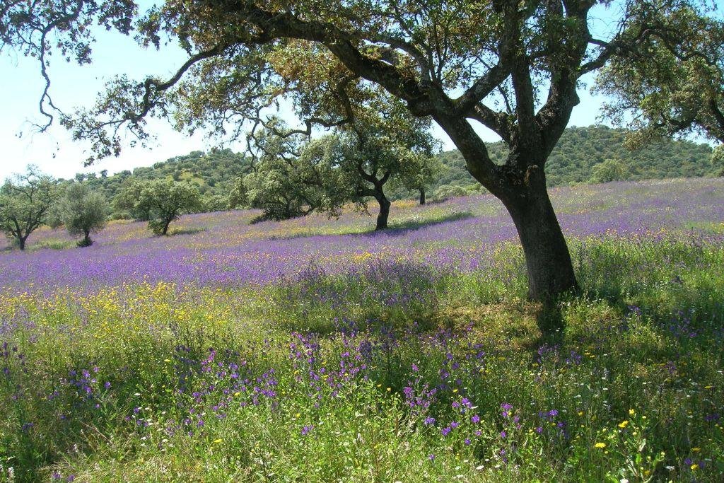
- Region: Andalucia
- Province: Jaén
- Declared a Natural Park: 1989
- Park surface area: 7,649 hectares
Points of interest
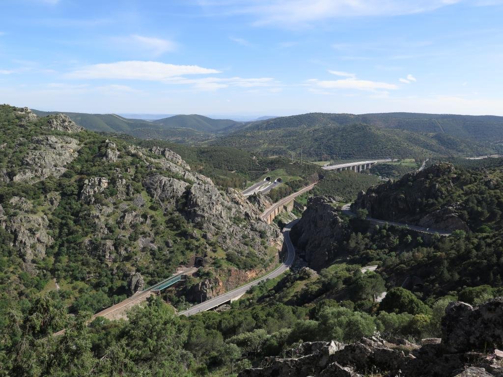
Despeñaperros is a natural mountain pass connecting Andalucia with Castilla la Mancha through the Sierra Morena mountain range. The rock structure forms a dramatic landscape with vertical cliffs and unusual rock formations. Los Organos is one such formation of quartzite rock taking the form of giant organ tubes.
I’ve been living in this lovely area of Western Andalucia for the last 20 years or so and dedicate most of my time to the running of English language tourist information websites for the towns of Cádiz, Ronda, Grazalema, the famous or infamous Caminito del Rey, and also Wildside Holidays, which promotes sustainable and eco-friendly businesses running wildlife and walking holidays in Spain. My articles contain affiliate links that will help you reserve a hotel, bus, train or activity in the area. You don’t pay more, but by using them you do support this website. Thankyou!