- Region: Andalucia
- Province: Malaga
- Declared a Natural Park: 1989
- Park surface area: 4,996 hectares
- Towns in the Montes de Malaga Area: Casabermeja, Colmenar, Málaga
Points of interest
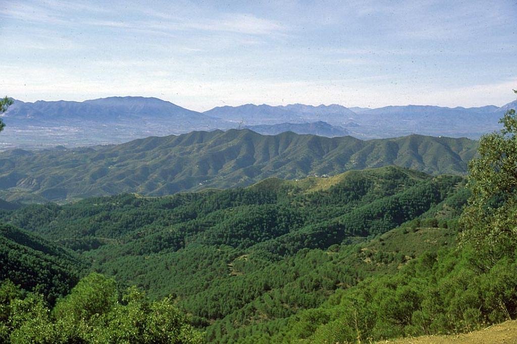
The Montes de Málaga natural park is just 5km from the city of Málaga. It consists of rolling hills and mountains with a high point of 1031m. The highest road pass is Puerto de León at 960m. There are many streams that cut through the park and fall into the Guadalmedina river to the west. The slopes are planted with pines and offer beautiful views of the Mediterranean countryside and coast.
I’ve been living in this lovely area of Western Andalucia for the last 20 years or so and dedicate most of my time to the running of English language tourist information websites for the towns of Cádiz, Ronda, Grazalema, the famous or infamous Caminito del Rey, and also Wildside Holidays, which promotes sustainable and eco-friendly businesses running wildlife and walking holidays in Spain. My articles contain affiliate links that will help you reserve a hotel, bus, train or activity in the area. You don’t pay more, but by using them you do support this website. Thankyou!