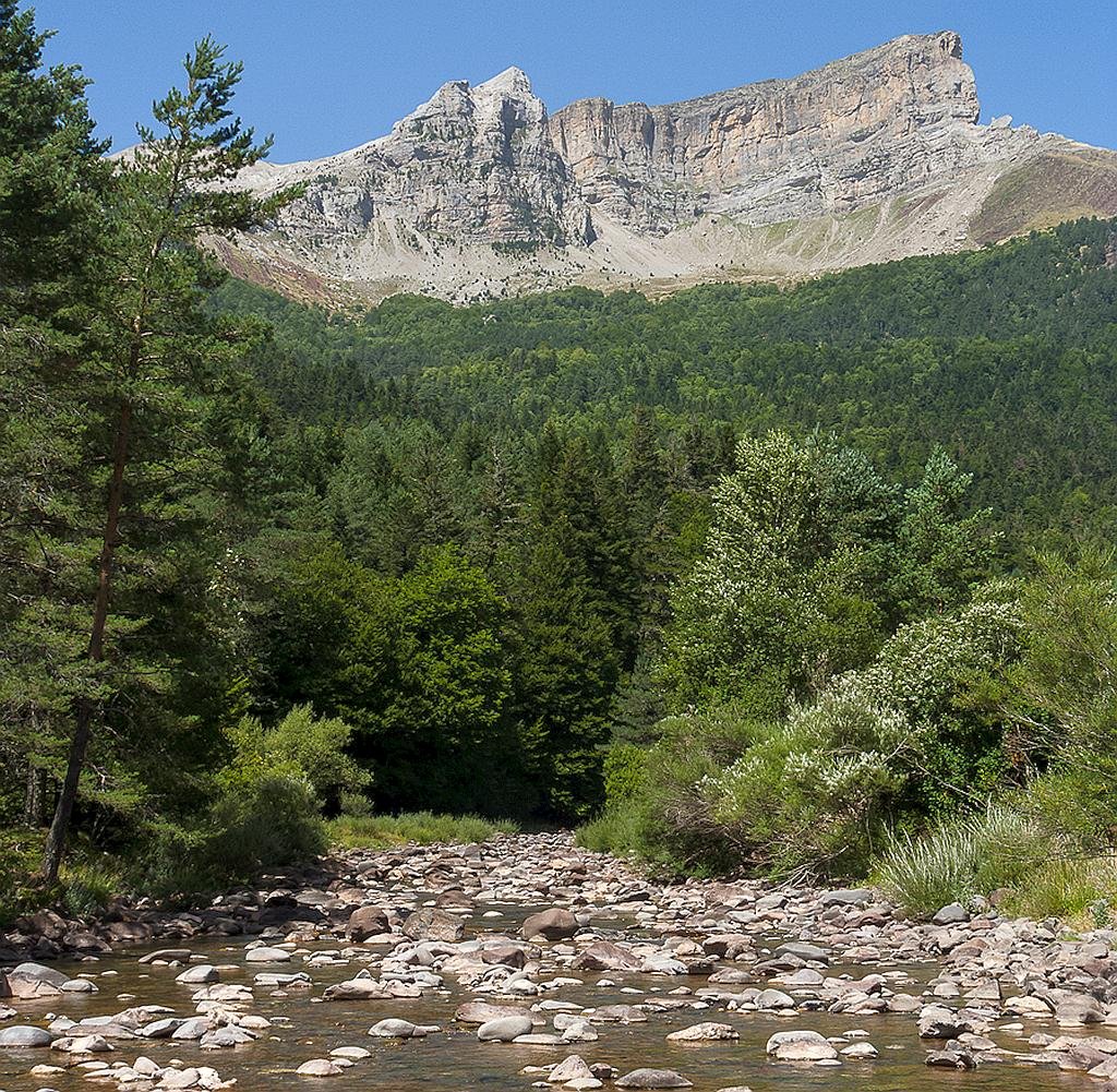
The Selva de Oza (Selba d’Oza in Aragonese) is a protected natural space located in the Hecho Valley (Huesca province), in the western part of the Aragonese Pyrenees . It is a natural space crossed by the waters of the Aragón Subordán river and surrounded by high mountain peaks between 2300 and 2700 meters. In the area the peaks of Peña Forca (2390 m), Punta Agüerri (2450 m), Castillo de Acher (2384 m) and Bisaurín (2668 m) stand out.)
Protected landscape of San Juan de la Peña and Monte Oroel
- Declared a site of national interest: 1920.
- Declared protected nature area: 2007.
- Protected landscape area: 9514 hectares.
- Nearby towns and villages: Botaya, Bailo, Caldearenas, Jaca, Las Peñas de Riglos, Santa Cilia and Santa Cruz de la Serós.
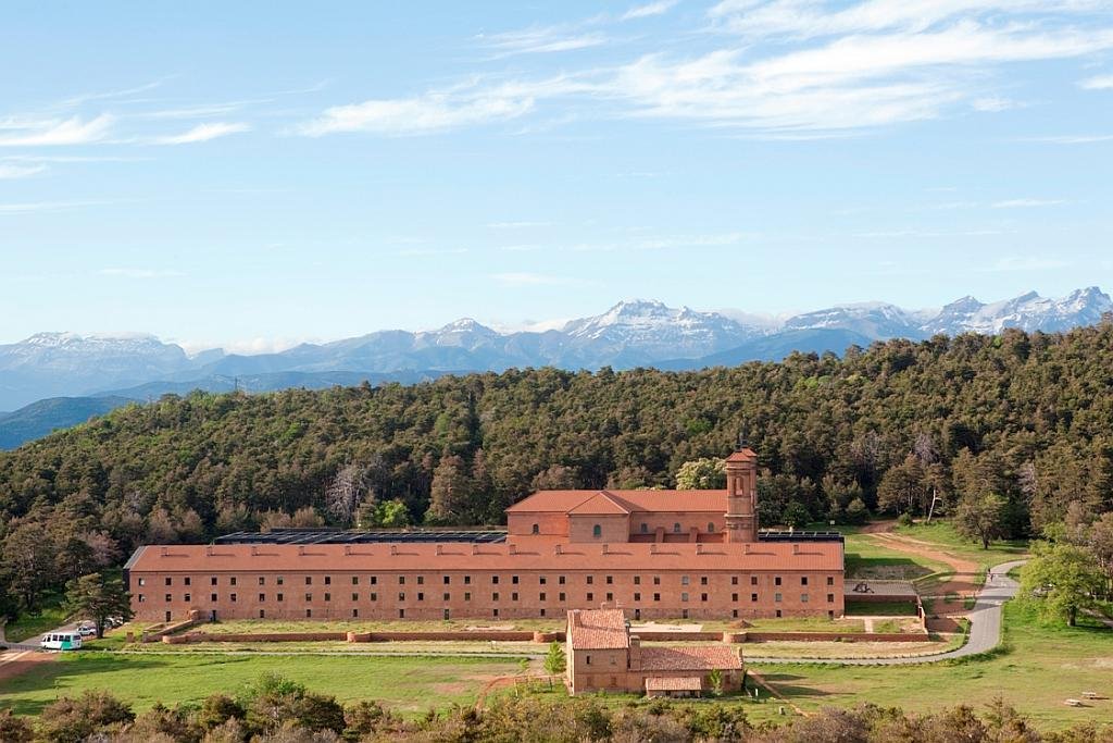
The protected landscape of San Juan de la Peña and Monte Oroel is located in the province of Huesca, Aragón. The two elements that stand out the most are those to which its own name refers: the monastery of San Juan de la Peña and the Oroel rock .
The Laguna de Gallocanta
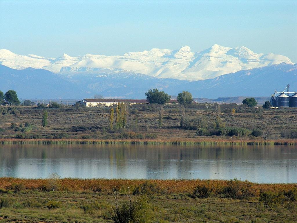
Without a doubt, one of the most distinctive living elements of the Laguna de Gallocanta are the birds, especially the striking flocks of common cranes that rest and feed here during the course of their migratory trips.
Moncayo Natural Park
- Region: Aragón
- Province: Zaragoza
- Declared a Natural Park: 1978
- Park surface area: 11,144 hectares
- Towns and Villages: Añón, Calcena,Litago, Lituénigo, Purujosa, San Martín de la Virgen de Moncayo, Talamantes, Tarazona and Trasmoz
Points of interest
The Moncayo Natural Park (once called the “Dehesa del Moncayo Natural Park”) is a protected natural area located in the province of Zaragoza on the border with the province of Soria. It occupies part of the regions of Aranda, Campo de Borja, Tarazona and Moncayo. Moncayo itself is a 15 km long and about 7 km wide mountain chain and the highest summit, San Miguel (2,314 m), is the highest point in the 500 km long sistema Ibérico. The Moncayo massif also includes two other peaks that are almost identical and are located close together. They are the Cerro San Juan (2,283 m) and Peña Lobera (2226 m).
The area has quite a few walking / hiking routes and one of the most famous starts from the village of San Martín de la Virgen de Moncayo and finishes at the village of Agramonte. (See information centres below)