- Region: Castilla la Mancha
- Province: Albacete and Ciudad Real
- Towns and villages: Argamasilla de Alba, Ruidera, Alhambra, Ossa de Montiel and Villahermosa.
- Declared a Natural Park: 1979
- Park surface area: 3,772 hectares
Points of interest
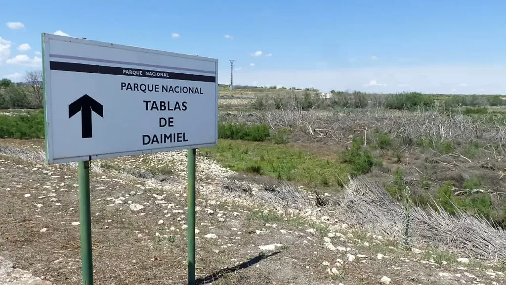
The Lagunas de Ruidera Natural Park acts as a buffer zone to the Tablas de Daimiel National Park and It consists of a complex lagoon system made up of fifteen lagoons, which over 30 kilometers constitute the Alto Guadiana valley and in its highest part the source of the Guadiana river.
A lot of activities are available in the area such as hiking, diving, kayaking, paddle surfing, sailing, etc. There are bathing areas during the summer, and good places for sport fishing (See below)